


Reviewed 21 September 2024
Victoria's Water Measurement Information System
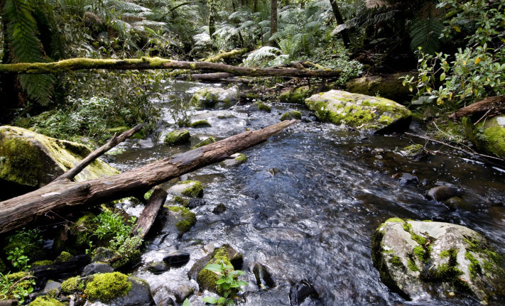
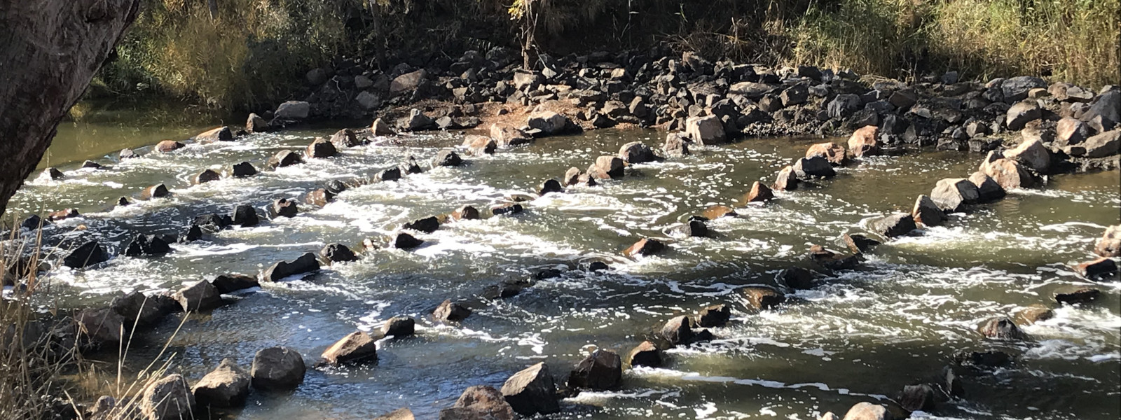
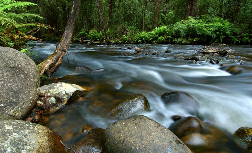
Your place to explore Victorian surface water and groundwater data
This site will help you find, explore, visualise, and download water monitoring data from across Victoria, including:
- surface water: water level, streamflow (discharge), water quality
- groundwater: water level, water quality
- rainfall and weather
You will find current data and information for about 900 surface water sites, 1,400 groundwater sites, and 200 rainfall sites, mostly live near real-time. There is also a wealth of historic long-term data.
All the data available on this site is collected as part of the Regional Water Monitoring Partnership (RWMP).