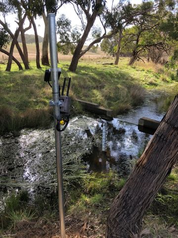
The Regional Water Monitoring Partnership (RWMP) is trialling cameras to support water monitoring activities. Photos assist decision makers by remotely verifying water data - without needing to visit the site.
Photos of the gauge boards helps remotely identify potential instrument errors in level data. Likewise, photos can let us know if debris on the control structure is affecting flow data.
We're continuing to research new ways imagery can improve and support the water data we collect. Recent innovations include Space-Time Image Velocimetry (STIV) where videos help calculate flow. STIV has the most promise at sites with difficult access or fluctuating water levels.
Cameras were recently used in monitoring a blackwater event in the Broken catchment. The images helped interpret continuous water quality data by collecting visual data on tracking water colour changes related to low dissolved oxygen levels.
The RWMP manages all camera data in accordance with the Privacy and Data Protection Act 2014. If you have any questions about the images we collect, please contact rwmp.wim@delwp.vic.gov.au
Reviewed 11 June 2024
