
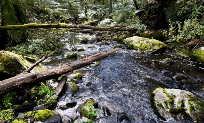
Surface water monitoring
Surface water monitoring helps us understand how much water is flowing (or standing) in our waterways over time, including: rivers, wetlands, estuaries, channels, lakes and storages.
Water level or flow is currently measured at over 800 locations in our network. Historic data is available for more than 1400 sites.
For the most part, readings are made every 15 minutes and transferred to the data portal hourly in near real-time. A smaller portion of sites (15%), measure continuously but data is downloaded manually in the field, so will be updated to the Water Measurement Information System (WMIS) every 6 weeks. Some of our long-term sites have over 100 years of record.
View in new tab using the below link, then zoom to explore where we monitor surface water and hover to see the latest measurements.
Why monitor surface water?
Understand our purpose for monitoring changes what we monitor and how we go about measuring it. Find out more about how our monitoring supports our partners water resource decision-making.


Reviewed 09 July 2024