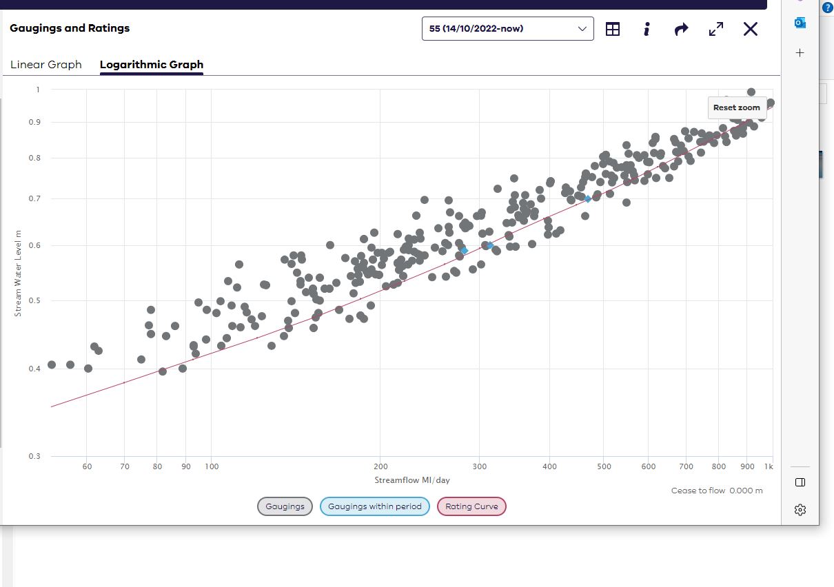

Rating table development
Rating tables can be created through modelling and estimated flow conditions, but they are most accurate when confirmed with gaugings. Each gauging collected is a data point that helps provide information on how accurate the rating table is at a specific height.
We report on this accuracy with a percentage deviation figure for each gauging taken. Deviation from the rating table is calculated by the following:
Deviation = (measured flow – rated flow) / rated flow * 100
For example, in the rating table plot below, if a gauging was taken at 2.000m and the result was 6300ML/d, the deviation would be calculated as:
Deviation = (measured flow – rated flow) / rated flow * 100
Deviation = (6300ML/d – 6240ML/d) / 6240ML/d * 100
Deviation = +0.96%
Rating table accuracy
We can only establish a rating table with high confidence where there is gauging data available. Other methods of creating a rating table such as modelling or extrapolating data have reduced confidence until they can be confirmed with gauging data.
Due to the nature of waterways, there are some sites where it’s inherently difficult to collect gauging data at extreme flows. Peaks after rainfall may only last 30 minutes or less, and hydrographers need to be onsite during those peaks to be able to gauge that range of the rating table.
At lower flows, it becomes difficult to collect gauging data for different reasons. As flows decrease, the number of suitable gauging locations in the river become fewer, meaning that there are limited options available to physically collect the data to provide an accurate rating at that low end.
At higher flows, particularly flood levels, ratings can become even more complicated. Anabranches may join into a combined flow, or the main channel may split into multiple river sections and locations that all need to be gauged to provide an accurate flow result. Once a river breaks its banks and the floodplain begins to flow, rating tables can become a highly theoretical exercise – but it still may be the best available data for that water level.
Typically, there needs to be 3-4 gaugings in a similar section of the rating table showing a similar trend of changes to confirm a rating has changed. We need to collect enough data in that section of the rating table to confirm that the deviation is real and not the result of instrumentation or human error – and if the water levels aren’t frequently around that height, it can take a long time to confirm the rating change.
For example, after a high flow event such as a flood, a riverbank could be scoured and the cross-sectional area dramatically changed. Depending on the extent of the scouring, rating changes may occur at only specific sections or the entire rating table may be affected.
We know the date and duration of the flood event, but it can take months to confirm the effects the flood has had on the full extent of the rating table. Low flows may only be present during summer, and if it’s a summer flood and water levels don’t recede for the next 12 months, then there won’t be an opportunity to confirm rating changes until the following summer.
Assumptions can be made on the extent of the rating changes based on trends and patterns, but there is nothing quite like actual data to confirm rating changes.
At important flow sites, we aim to have the rating table accuracy within +/- 5%, meaning that we ask our hydrographers to conduct ‘check’ gaugings if a gauging result is greater than 5% different from the rating table. These ‘check’ gaugings help to reduce likelihood of any human and instrument errors skewing our rating table development and increase confidence that there has been an actual change in the flow regime at a site, which can reduce the time it takes to release a new rating table for that site.
Quality coded flow data
Most flow quality codes are informed by the quality codes (QCs) applied to the level data. If there has been a significant sensor drift between site visits, then that quality code will apply to the flow data produced by the level-rating table flow calculations.
However, there are QCs that are rating table specific. Common rating table QCs are:
- − ... Rating based on gaugings > 20 years old: This means that this particular section of the rating has not been verified for a while, and therefore may have changed, but this is still the best available data.
- N ... Rating Extrapolated within x1.5 max flow: This means the rating table has been extrapolated, but only within 1.5 times the value of the maximum gauging data available for the site.
- R … Rating table extrapolated: This means the rating table has been extrapolated beyond 1.5 times the value of the maximum gauging data available for the site.
- X … Rating table exceeded: This means that there is no flow data available for this water level.
Extrapolated refers to a process where a section of the rating table has been estimated based on other available site metadata or available gauging data. We commonly see the extrapolated QCs in the extreme high and low ends of rating tables where the river may rarely flow, and gauging data is rarer still.
Suspended rating tables
Occasionally you will see that a rating table has been suspended (QC250). This means that there has been a noticeable change in site conditions and the current rating table is no longer accurate and it’s expected to take a while to be either re-established or for site conditions to return to normal.
A common reason for a suspended rating table would be a damaged control. Our hydrographers know that the rating table won’t be accurate until the control can be fixed, and so we suspend the table instead of publishing inaccurate flow data. Another common example is when a site becomes backed up, and the level-discharge relationship is no longer representative of actual flows passing the monitoring site.
Rating table sections/segments
Rating tables have segments or sections in them which are often related to topographical features of the waterway. For example, for a V notch weir, there would be a rating table segment for when the water level is contained within the V notch, and then another section once the water level is no longer contained by the V notch. There are also noticeable changes to the shape of a rating curve when the floodplain becomes the controlling feature.
Reviewed 11 June 2024